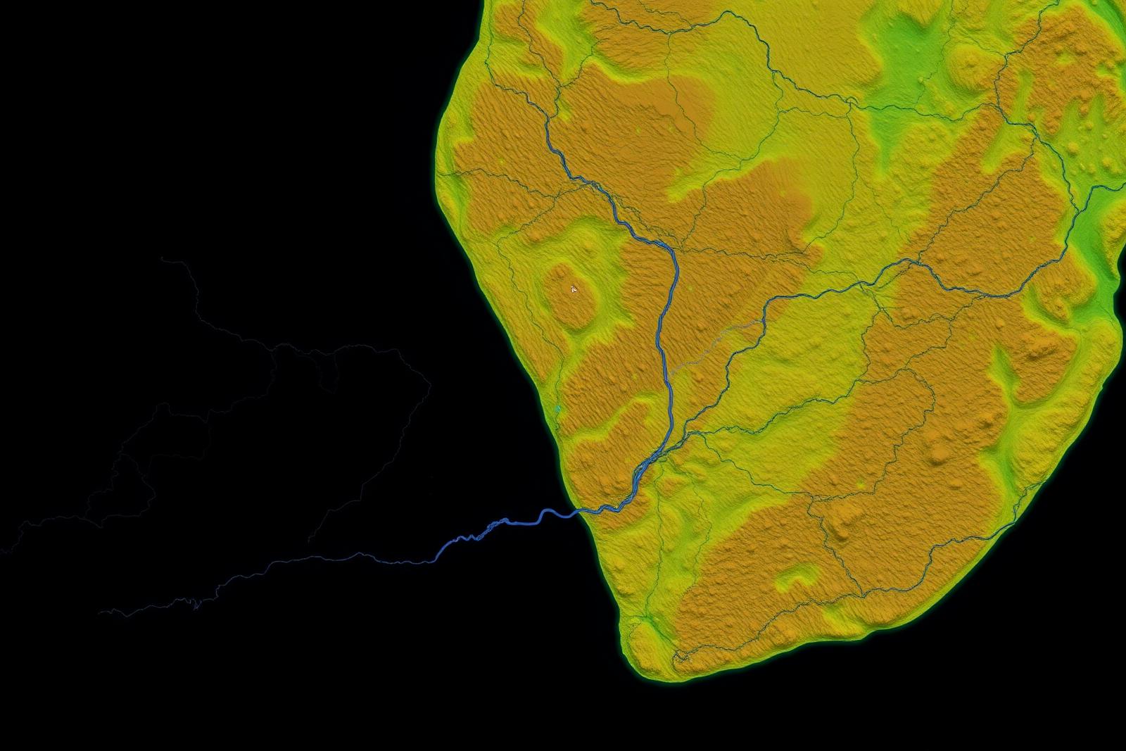
Satellite terrain analysis over the Voltaian Basin in central Ghana

05.2Projects

Voltaian Basin | GH_VB_03

A frontier onshore basin covering a substantial share of Ghana's land area, evaluated with modern low-impact exploration technology.

Tano Basin | GH_TK_01 — Active priorityVoltaian Basin | GH_VB_03TANOVOLTAIANGULF OF GUINEA
Not a survey-grade map — indicative block locations only

Block Map

Detailed licence block map — to be published

Project Profile

Voltaian Basin | GH_VB_03

Planned
Location
Central Ghana — onshore intracratonic basin
Basin
Voltaian Basin
Project Status
Early-stage evaluation
Exploration Focus
Frontier onshore petroleum evaluation
Current Activities
Desktop geological and geophysical evaluation. Field programme planned, subject to applicable approvals.
Basin Characteristics
A large Neoproterozoic–Palaeozoic intracratonic basin covering roughly 40 per cent of Ghana's land area, historically under-explored and considered a significant frontier play.
Geoscience Activities
Basin architecture definition, source-rock screening and reservoir characterisation.
Seismic Activities
Design of a phased seismic programme calibrated to basin depth and structure.
Drilling Programme
Stratigraphic and exploration drilling to follow subsurface imaging.
Technical Partners
Specialist geoscience and passive-seismic technology providers.

Exploration Programme

Work programme and status

In Progress

Remote Sensing

Satellite-based structural and lineament mapping across the block.

In Progress

Potential Fields Review

Gravity and magnetic data integration to constrain basin depth.

Planned

Ambient Noise Tomography

Low-impact passive seismic imaging of the subsurface.

Planned

Seismic & Drilling

Phased seismic acquisition followed by stratigraphic drilling.

Project Milestones

Path to drilling readiness

  1. Phase 1

    Regional screening and data compilation.

  2. Phase 2

    Remote sensing, potential fields and passive seismic.

  3. Phase 3

    Seismic acquisition and prospect definition.

  4. Phase 4

    Stratigraphic and exploration drilling.

Related Expertise

Capabilities behind this project