
01Expertise
Resource Exploration & Prospecting
Identifying and evaluating mineral and energy resources through integrated geological, geophysical, remote-sensing and field-based exploration techniques.
01.1Overview
What this focus area covers
Exploration is where Menxons is active today. The same integrated, data-led approach applies to mineral and energy resource prospecting: understand the geology first, then commit to field work where the evidence supports it.
01.2Capabilities
Capability by stage of maturity
- Geological mapping
- Remote sensing & satellite interpretation
- Geophysical studies
- Prospect generation
- Exploration planning & permitting
- Seismic evaluation (where applicable)
- Resource evaluation
Important context
Menxons works with independent technical partners and service providers. No proprietary exploration technology is claimed.
01.3Exploration Intelligence
From satellite imagery to development readiness
An illustrative engineering workflow — each stage builds on the evidence gathered before it.
Step 01 / 09
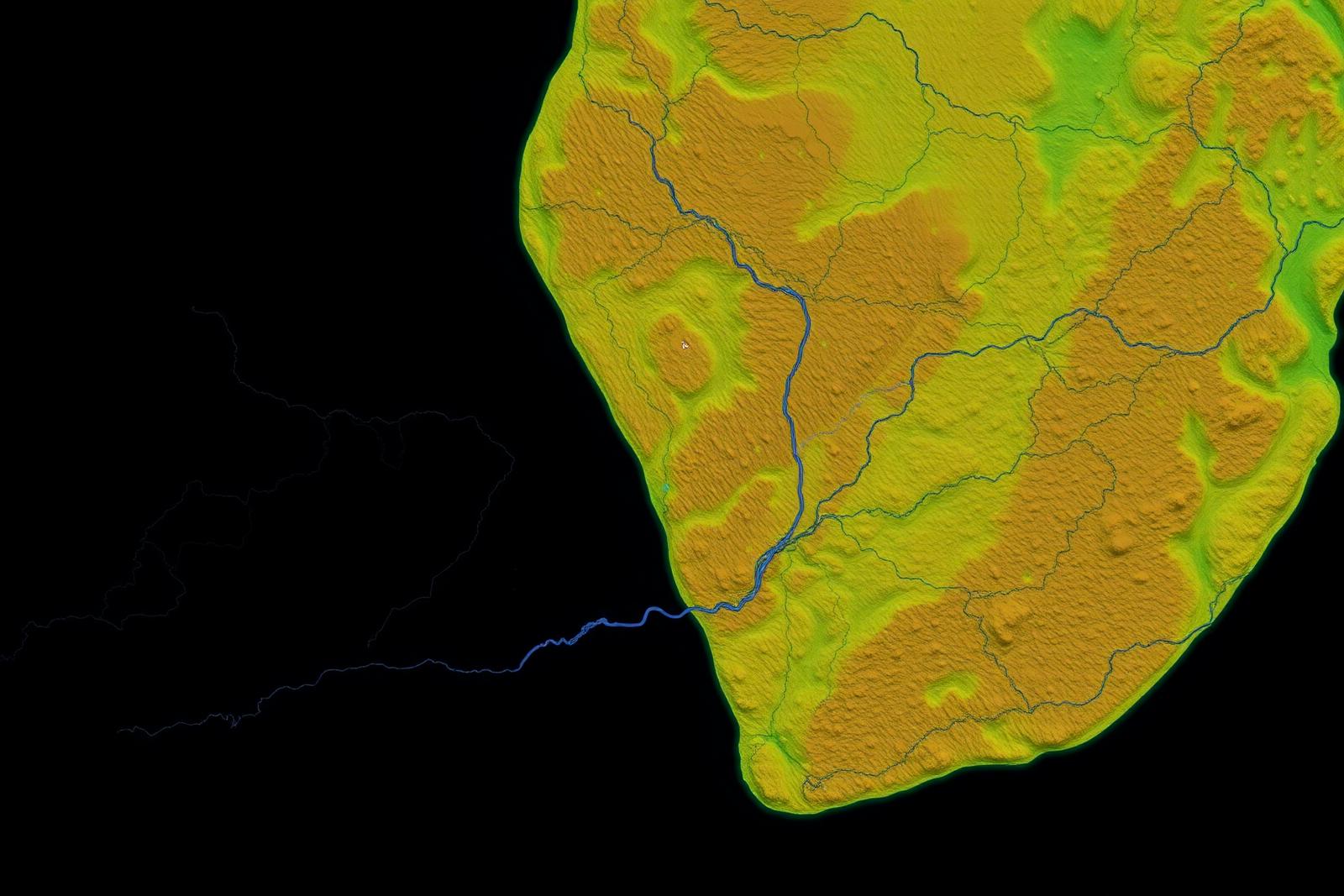
Satellite
Multispectral and radar imagery frames the regional geological setting.
Work With Menxons