
Exploration Technology
Advancing exploration through technology, data and technical expertise.
Menxons Limited combines modern geoscience, satellite intelligence, seismic interpretation and exploration technology to evaluate prospective petroleum resources across Ghana and West Africa — integrating advanced exploration technologies and technical partnerships into its exploration workflow.
01Exploration Workflow
The technology behind our exploration
Eight technical stages, each reducing geological uncertainty before the next commitment is made. Select a stage to read how it works.
02Satellite & Remote Sensing
See the bigger picture
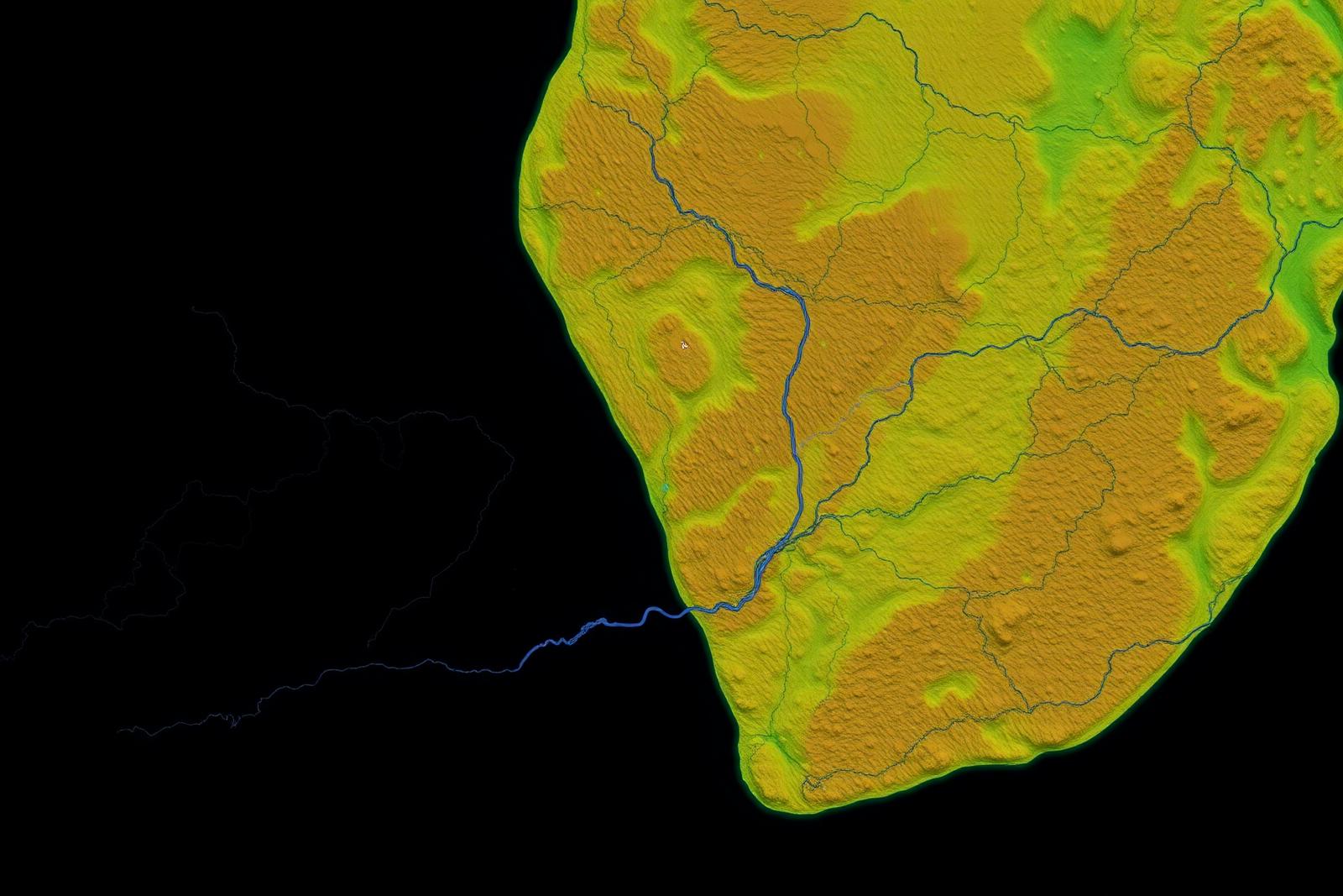
Satellite and remote-sensing technologies provide valuable spatial and environmental intelligence that can support early-stage exploration planning, surface interpretation and target evaluation.

Satellite data is used as one layer of exploration intelligence alongside geological and geophysical evidence. It is not used on its own to determine the presence of hydrocarbons.
03Seismic
Imaging the subsurface
Seismic data provides critical insight into subsurface structure and helps exploration teams evaluate geological prospects and refine drilling targets.
Layered sedimentary sequence and faulting.
04Digital Subsurface
Building the subsurface model
Surface, sedimentary layers, faults, structural closures, potential reservoir intervals and the exploration well — assembled into a single interactive model.
The model shown is illustrative and does not represent measured geology, discoveries or results on any Menxons licence.
Exploration Approach
From data to discovery
Our exploration approach integrates multiple data sources and technical disciplines to progressively reduce geological uncertainty and support informed exploration decisions.
- 01Data
- 02Interpretation
- 03Targeting
- 04Validation
- 05Well Planning
- 06Drilling
- 07Evaluation
05Exploration Intelligence
Exploration command centre
A consolidated view of the Menxons exploration programme. Where technical datasets are still being assessed, status is shown rather than provisional numbers.
Geological Data
Data Under Evaluation
Basin studies, stratigraphy and petroleum-systems assessment in progress.
Seismic Data
Data Under Evaluation
Legacy data review, reprocessing scope and acquisition planning.
Satellite Data
Project Data
Remote-sensing datasets supporting surface mapping and field planning.
Target Evaluation
Data Under Evaluation
Leads and prospects assessed against consistent technical criteria.
Drilling Programme
Planned
Well design, contracting and readiness activities scheduled by block.
06Technical Partnerships
Capability strengthened by specialist partners
Menxons works with experienced technical partners and exploration service providers to strengthen capability across the exploration value chain.
