01
Satellite & Remote Sensing
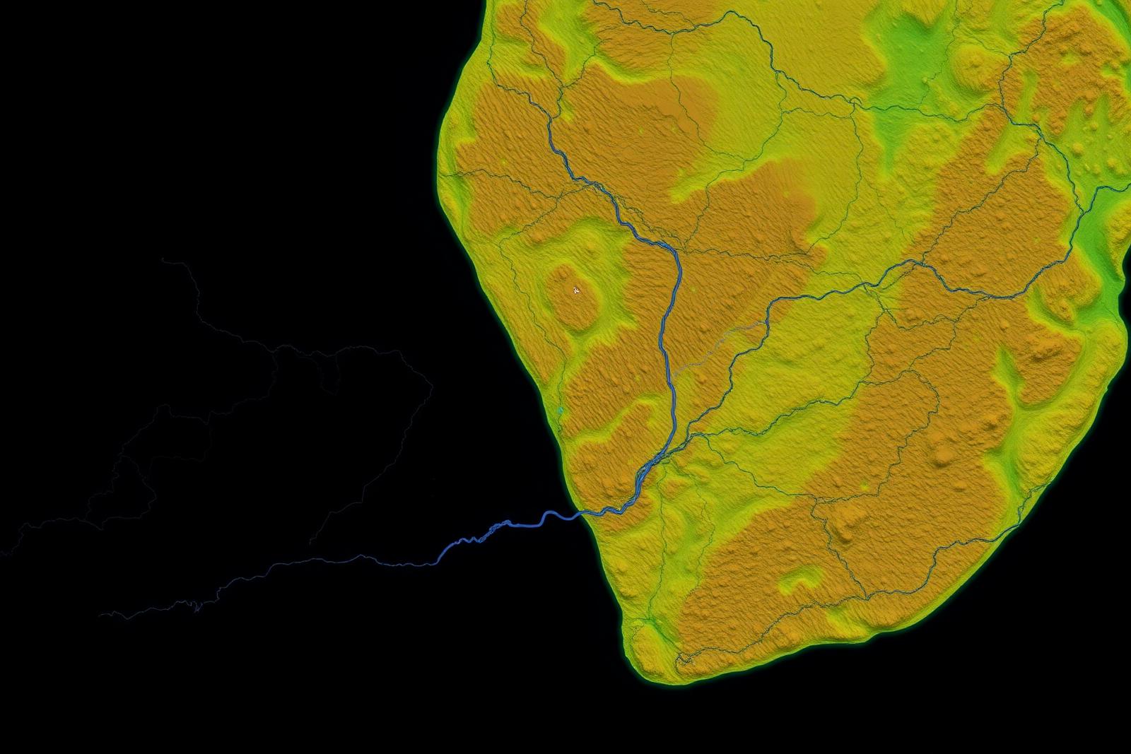
Satellite imagery and remote-sensing datasets support regional geological interpretation, surface structural mapping, lineament analysis and early exploration planning — reducing cost and risk before ground operations begin.