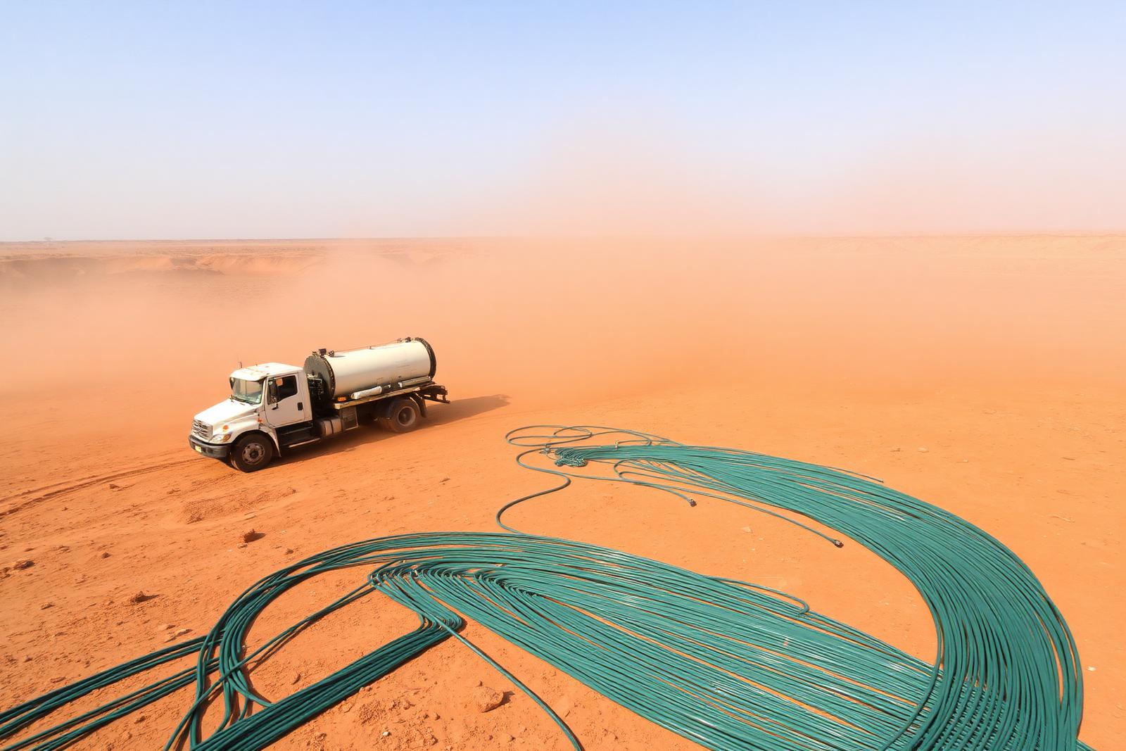
Seismic acquisition operations supporting Tano Basin exploration

05.1Our Assets

Tano Basin | GH_TK_01

Menxons Group's flagship exploration project, located within Ghana's most productive petroleum province.

Tikobo 1 Progress

From exploration licence to drilling readiness

Project progress on the Tikobo 1 Block in the Jomoro District, Western Region — hover or tap a stage for detail.

  1. 01Complete

    Exploration Licence

    Tikobo 1 Block, Jomoro District, Western Region — Tano Basin.

  2. 02Complete

    Technical & Geoscience Evaluation

    Legacy data review, remote sensing and petroleum systems analysis.

  3. 03Complete

    Environmental Scoping Notice

    Published in the Daily Graphic, inviting stakeholder concerns and observations.

  4. 04Complete

    Environmental Impact Assessment

    EIA advanced for the proposed onshore exploration programme.

  5. 05Complete

    Positive Assessment Outcome

    Supporting continued advancement, subject to required regulatory approvals.

  6. 06In Progress

    Community Entry

    Project introduced to host communities within the project area.

  7. 07In Progress

    Traditional Authority & Stakeholder Engagement

    Ongoing dialogue with chiefs, local authorities and community members.

  8. 08Planned

    Exploration Programme / Drilling Readiness

    Next stages of exploration, subject to applicable regulatory processes.

Read the Tikobo 1 project update →
Tano Basin | GH_TK_01Voltaian Basin | GH_VB_03TANOVOLTAIANGULF OF GUINEA
Indicative block locations — Republic of Ghana

Block Map

Detailed licence block map — to be published

Asset Profile

Tano Basin | GH_TK_01

In Progress
Location
South-western Ghana, Tano petroleum province
Basin Information
A Cretaceous–Tertiary transform-margin basin forming part of the West African margin petroleum system, with proven source, reservoir and seal intervals in the wider province.
Licence Status
Exploration interest — programme and approvals advancing
Exploration Programme
Legacy data review, satellite and remote-sensing interpretation, geological evaluation, seismic reprocessing and prospect definition ahead of well planning.
Geoscience Activities
Basin modelling, petroleum systems analysis, structural and stratigraphic interpretation, volumetric assessment.
Seismic Activities
Reprocessing of available 2D/3D data and evaluation of new acquisition requirements.
Drilling Programme
Exploration well planning to follow completion of prospect ranking and de-risking.
Technical Partners
International and Ghanaian geoscience, seismic and drilling specialists.

Exploration Programme

Work programme and status

Complete

Satellite & Remote Sensing

Surface structural mapping and regional screening across the block.

In Progress

Geological Evaluation

Petroleum systems and play-level assessment integrating legacy well data.

In Progress

Seismic Programme

Reprocessing and interpretation, with acquisition scope under evaluation.

Planned

Exploration Drilling

Well design and location selection following prospect maturation.

Project Milestones

Path to drilling readiness

  1. Phase 1

    Licence and data room established; reconnaissance complete.

  2. Phase 2

    Integrated geoscience evaluation and seismic reprocessing.

  3. Phase 3

    Prospect ranking, volumetrics and drilling readiness.

  4. Phase 4

    Exploration drilling and post-well evaluation.